logo

The place where I live


Click on the pictures.


back to index/home next page

The Netherlands and 's-Gravenzande

live/Neth.jpg live/Westland.jpg live/gz.jpg live/gz13.jpg


The Netherlands are a small and mostly flat country with just short of 17 million people. About one-third of the country, mainly the western and northern land along the coast line is below sea level with the lowest level at just over minus 8 meters. 's-Gravenzande is a town with a population of 17,000, situated in the Westland region roughly north of the vast Rotterdam harbors. The Westland is a major horticultural area with miles and miles of greenhouses in which vegetabels and flowers are grown. Everything that is colored blue on the map, are greenhouses. -'s-Gravenzande is often called "The Glass Town" or "Het Breje Dorp", which translates into "wide and narrow village". -Most of 's-Gravenzande surface is 1 to 2 meters below sea level. There is only a narrow 50 to 75 meters wide strip of dunes bewteen the town and the sea.


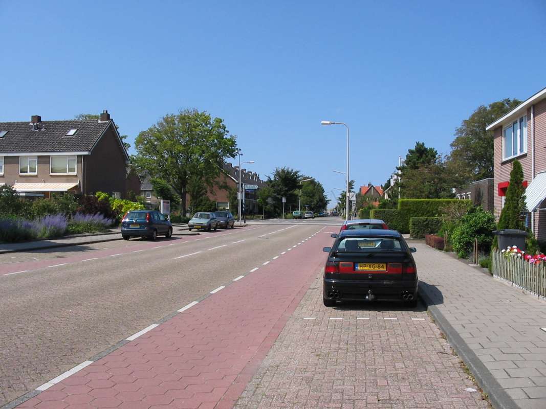
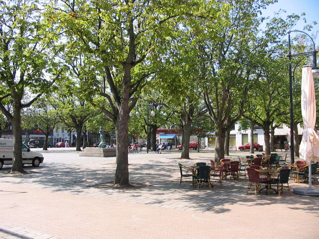
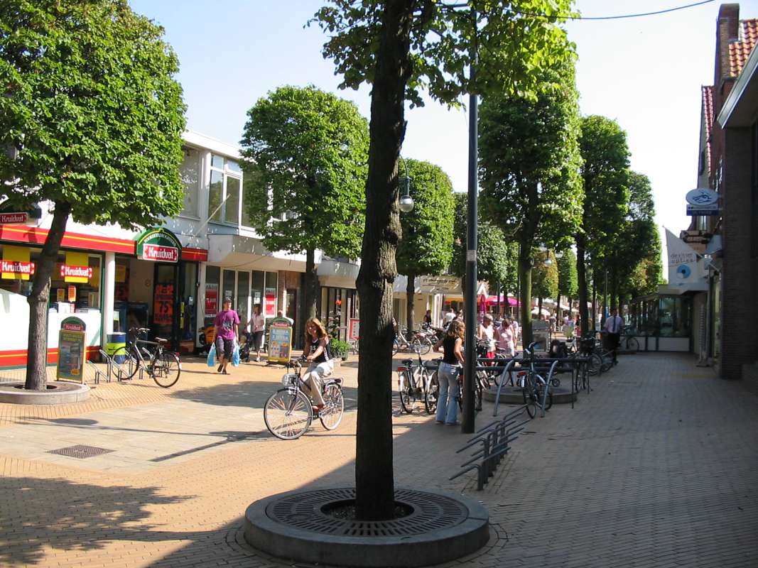
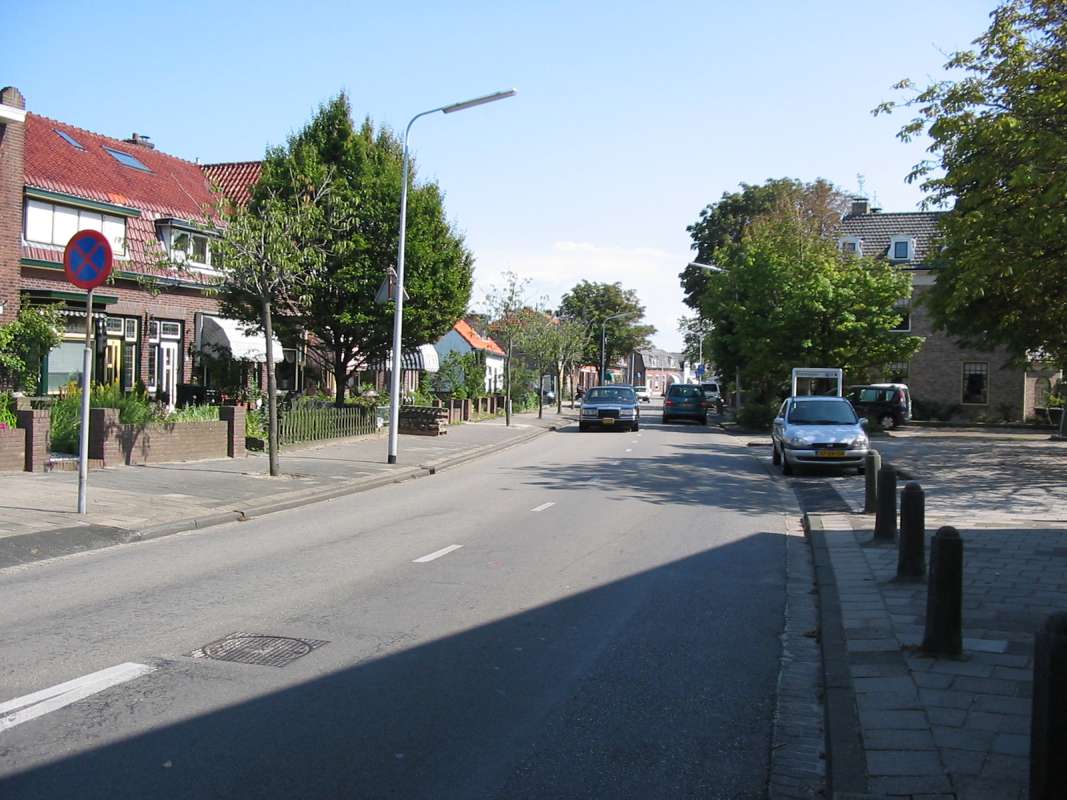
Impression of my home town 's-Gravenzande
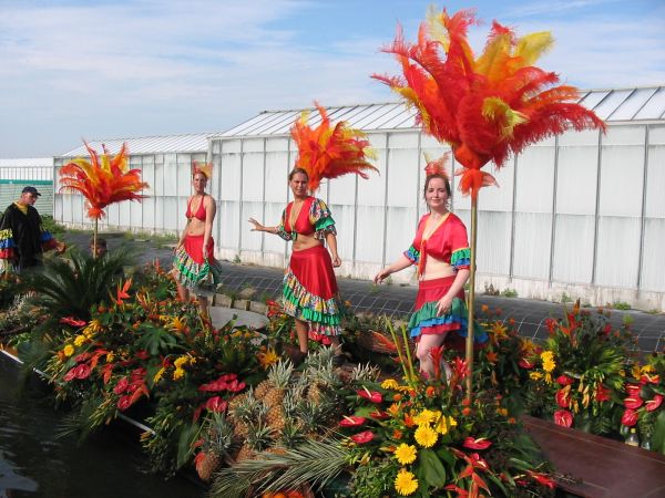
live/gz3.jpg live/gz4.jpg live/gz5.jpg live/gz6.jpg live/gz7.jpg live/gz8.jpg live/gz9.jpg live/gz10.jpg live/gz11.jpg live/gz12.jpg live/mill1.jpg live/mill5.jpg
These pictures will give you a small impression of 's-Gravenzande.


Flower parade in Westland

There is an anual floating flower parade in August with approximately 60 beautifully decorated flat bottom boat participatings.
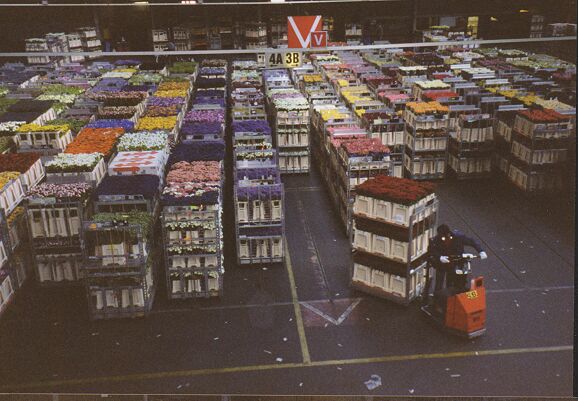
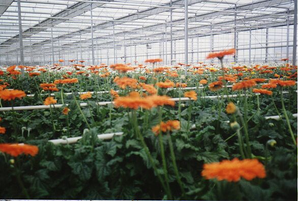
live/corso01.jpg live/corso02.jpg live/corso03.jpg live/corso04.jpg live/corso05.jpg live/corso06.jpg


Westland greenhouses and auction-mart

Impression of the Westland greenhouses and the auction-mart in Naaldwijk where only flowers are being sold and shipped word wide. Vegetables are auctioned and shipped elsewhere.

live/Westland2.jpg live/westland3.jpg live/westland8.jpg live/westland4.jpg live/westland5.jpg live/westland7.jpg
The town in the first picture is Monster, situated some 5 kms north of 's-Gravenzande. On the right side of the picture, just below the middel of the picture, the first few houses of 's Gravenzande can be seen. The dark spot in the upper right corner is Naaldwijk. In the fore ground the sea, the beach and the narrow strip of sand dunes are clearly visible.
The second and third pictures are taken from top of the dunes, looking somewhat down towards the town.
Pictures four to six show greenhouses. Some of the Greenhouses are painted with white chalk to protect plants from direct sunlight.

live/gren01.jpg live/gren02.jpg live/gren03.jpg live/gren04.jpg live/gren05.jpg live/gren06.jpg live/gren07.jpg live/gren08.jpg live/gren09.jpg live/gren10.jpg
Pictures one to four are taken inside the auction-mart in Naaldwijk.
Picture number five is taken inside a greenhouse for large tropical plants.
Pictures six and seven are taken inside a greenhouse where only tomatoes are grown.
Pictures eight to ten are taken insde a greenhouse in which Gerbera flowers are grown.


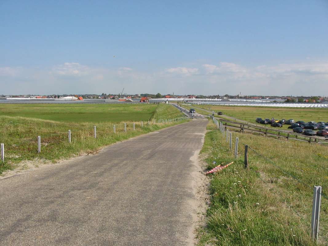
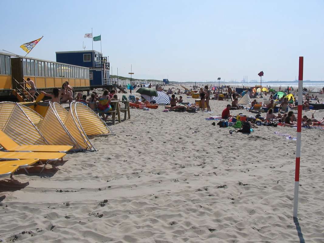
The seacoast and the beach

live/beach02.jpg live/beach3.jpg live/beach4.jpg live/beach5.jpg


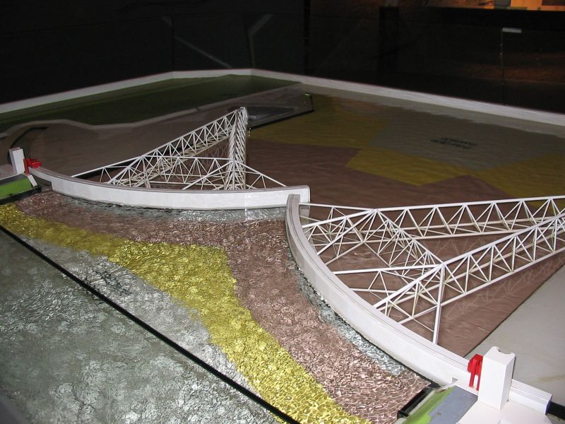
Hoek of Holland - Storm surge barrier in the Nieuwe Waterweg

live/kering01.jpg live/kering02.jpg live/kering05.jpg live/kering10.jpg live/kering16.jpg live/kering17.jpg live/kering18.jpg live/kering19.jpg live/kering20.jpg live/kering21.jpg
About 5km south of 's-Gravenzande is Hoek of Holland, the gateway port to the Rotterdam harbors
The waterway conneting Rotterdam with the North Sea is appropriately called "Nieuwe Waterweg", meaning New Waterway. At times of storms when sealevel hitting the coast rises above normal high tide level, the Nieuwe Waterweg will automatically be closed by means of two enormous floating steel gates to prevent flooding of the low lands. This storm surge barrier, one of the world's largest moving objects, was the final project of the so called Delta Works, a series of high end engineering projects. The Delta Works now effectively protect the entire south-west delta-like region against the sea. They are able to even withstand a storm during spring tide which occurs when sun, moon are alined, combining their gravitational forces.

logoWebsite of "The Maeslant Barrier" - (Dutch and English language)


Hoek of Holland - Harwich Ferry-Boat

live/ferry00.jpg live/ferry01.jpg live/ferry02.jpg live/ferry03.jpg live/ferry04.jpg
Hoek of Holland is also an important port for ferryboat connections to England and other countries. The pictures show you some of these ferry boats which carry passengers and/or freight.


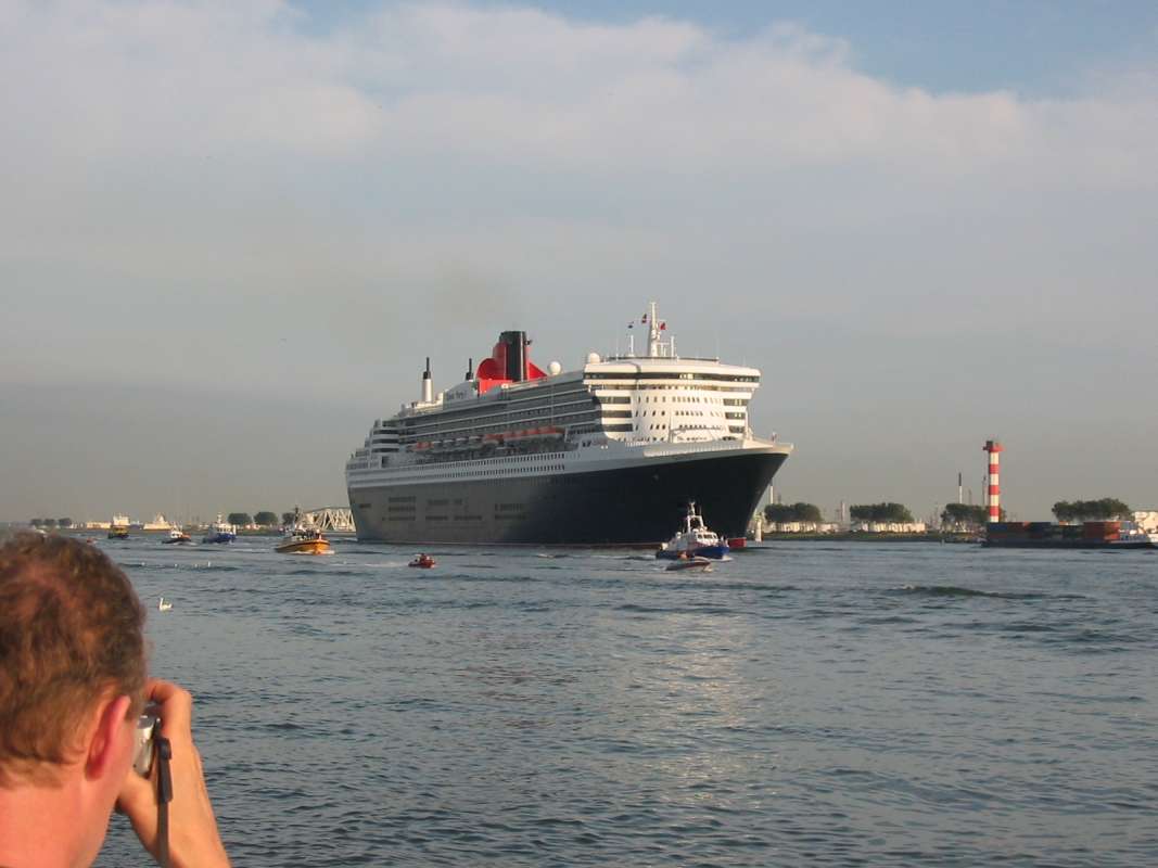
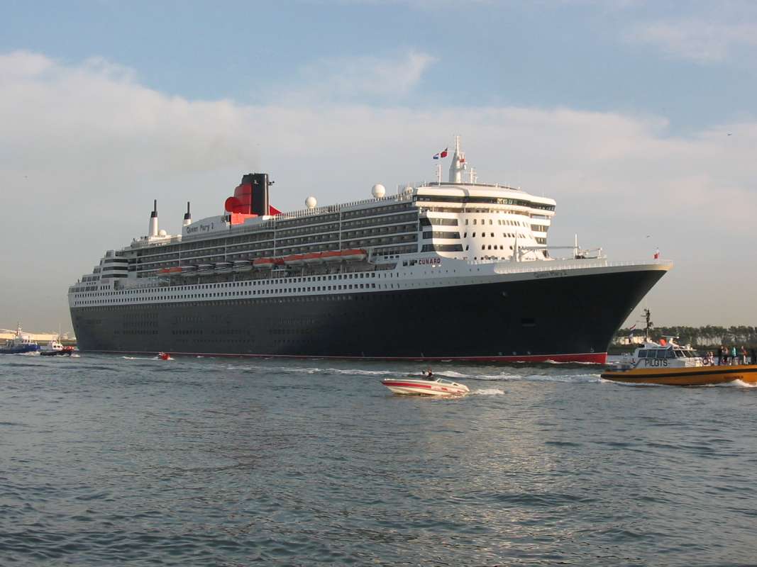
Hoek of Holland - Visit of the Queen Mary

live/qm2-1.jpg live/qm2-2.jpg live/qm2-4.jpg
On Wednesday the 21st of July, 2004 the impressive cruise ship Queen Mary II, sailed past Hoek van Holland on its way to Rotterdam for a one day visit, drawing large crowds of spectaters on both side of the Nieuwe Waterweg.

Hoek of Holland - Visit of the Westerdam

live/wester01.jpg live/wester02.jpg live/wester03.jpg
On Saterday August 1st, 2004 another large cruise ship, Holland America Line's Westerdam sailed by Hoek van Holland towards Rotterdam.
When the ship entered the port of Hoek van Holland it was a nice sunny day, however, by the time it reached the Nieuwe Waterweg, a very cold mist had blown in from the sea.


Delft

live/Delft1.jpg live/Delft2.jpg live/Delft3.jpg
20kms roughly north of s-Gravenzande lies Delft. The pictures are showing some of the buildings in the historic center of town. Picture number 2 shows one of the famous Dutch barrel organs, this one horse-drawn. Quite a few Dutch live in so called "houseboats" moored along the banks of canals and rivers. The houseboats in the first picture are located somewhere within city limits of Delft


Email to HenkofHolland:

Note:

This website is an extension of my modeling hobby and serves to inform only. It is NOT possible to order merchandise directly from me.
I do not own a (web-)shop. You will find some reliable vendors in the "links" page.

logoE-mail to HenkofHolland

Note: To become a valid e-mail address, replace in email address (at) with @


Stats Valid HTML 4.0 TransitionalValid HTML 4.0 Transitional


back to index/home next page